Tongariro Alpine Crossing

You know a hike should be good when it was changed to include ”Alpine” in it to make people realize how challenging it is. As New Zealand is such a popular travel and backpacker destination you have a lot of people trying to do some of the great hikes wearing jean shorts and ballerina shoes.
But not us, we were prepared with our hiking boots and hiking pants! Ready to judge those Sunday walkers who thought this was an easy stroll, look at their inadequate gear and laugh condescendingly.
The crossing is 19,4km long including a lot of climbing and a bit more if you decide to climb Mt. Ngarurahoe (also known as Mt. Doom).
This 19,4km would be much more challenging than our 20km leisurely stroll in Abel Tasman. Of course we thought the time estimates exaggerate by hours and though that by starting at 8am we’d be finished around 2-3pm, including the climb to Mt. Doom.
Prior to the Sunday we spent a very cold another thing to look out for – Saturday saw 75km/h winds when 50km/h is the max the recommendations say you can do the hike in. We got very lucky with the weather and Sunday was meant to be perfect.
As the crossing is not a loop or a return track you need to either have a shuttle to bring you from car park to another or arrange a group with two cars. Luckily we had two cars as Richie’s friend from Brisbane, Josh, who night in a close-by free camping spot full of other travelers aiming to do the crossing. One needs to check the weather reports very closely as not only clouds ruin the views, it might be dangerous not to be able to spot the route markers in some of the steep climbs. Winds are now lives in NZ was joining us for the hike and so we avoided paying the $30pp shuttle fee. The car parks fill up really quickly – we left one car at the end at 6.30am and we’re at the start at 7am and got some of the last close spots in the small parking area.
This was definitely the busiest of the walks we have done in NZ, groups of people starting in regular intervals. As we are hikey-people now, fast and confident with our gear, we flew by other people!
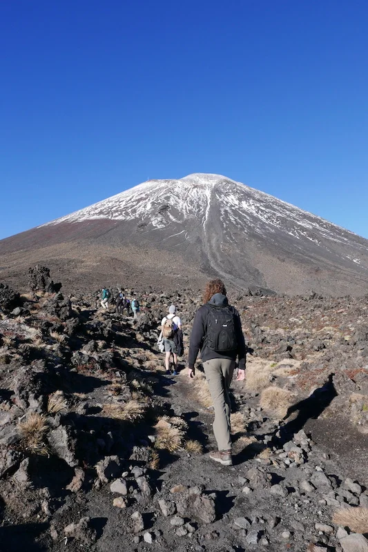
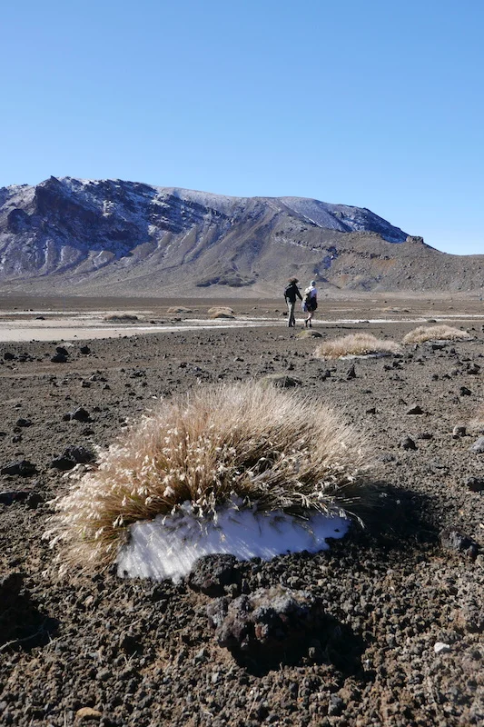
Start of the walk, Mt. Doom looming upon us
It took about an hour to reach the point where one has to make the crucial decision: To climb Mt. Doom or not? Sign says 3hrs return and that’s quite a bit to add to an already 6-8hrs long walk. We could already see a lot of people scrambling up and decided to do it.
I thought Cradle Mountain Summit- climb was challenging but at least there you were walking/crawling on solid rock boulders the whole way. Wherever you reached for a grip you knew you could trust. At Mt. Ngarurahoe the ground is deceiving in every step. It’s mainly loose volcanic rock, which can be very sharp and breaks easily, and often means one step forward is two sliding steps down. Since winter is approaching there was already a bit of snow on the way which actually made the climb easier. You could make proper steps and hope the snow doesn’t give in under you weight.
Another thrilling feature of the climb were “Rock!”- yells from other fellow climbers now and then. None of the falling rocks were big but it is steep enough that they don’t really stop before the bottom and at full speed those could have very bad consequences and some people have had to be rescued from this exact mountain after being hit by a falling rock. We heard a story about a guy who dropped his bag on the mountain and it rolled most of the way down with the volcanic rocks tearing it to shreds on the way!
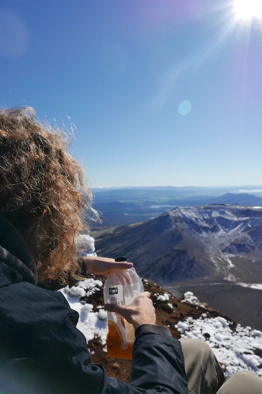
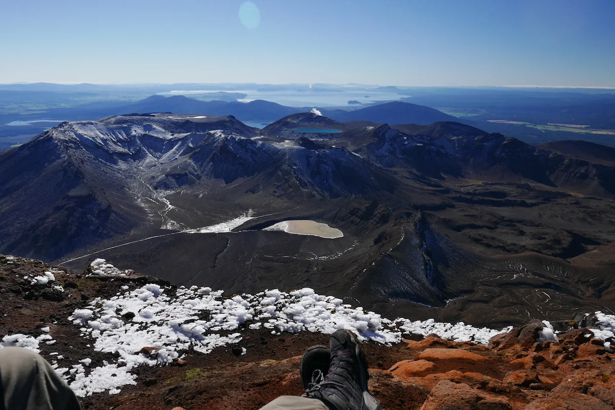
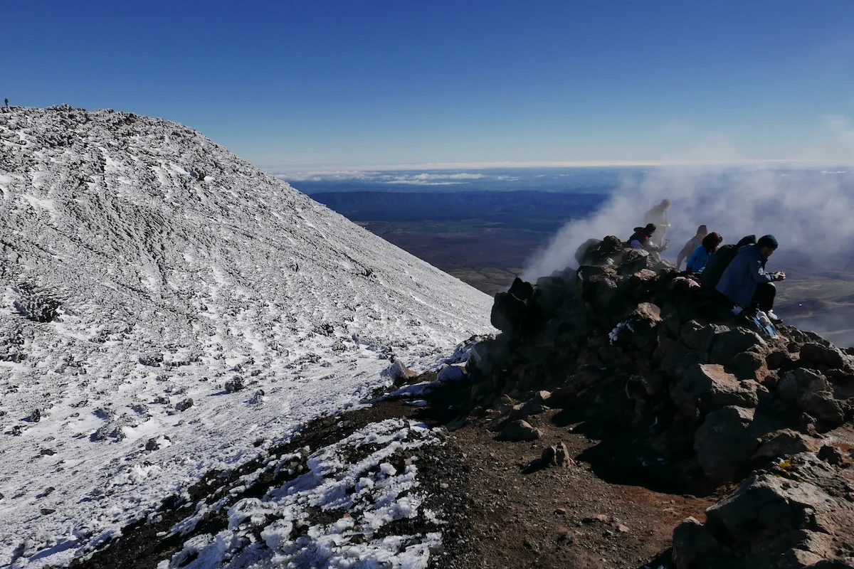
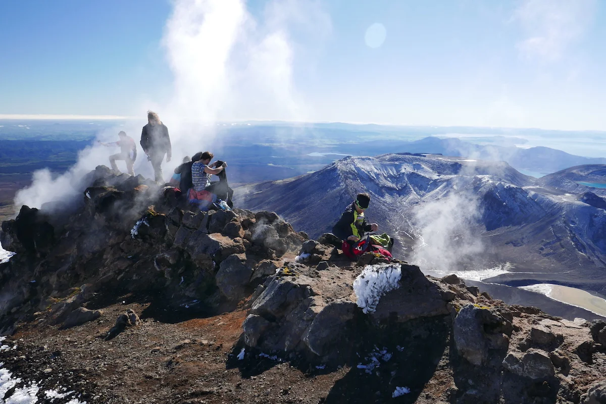
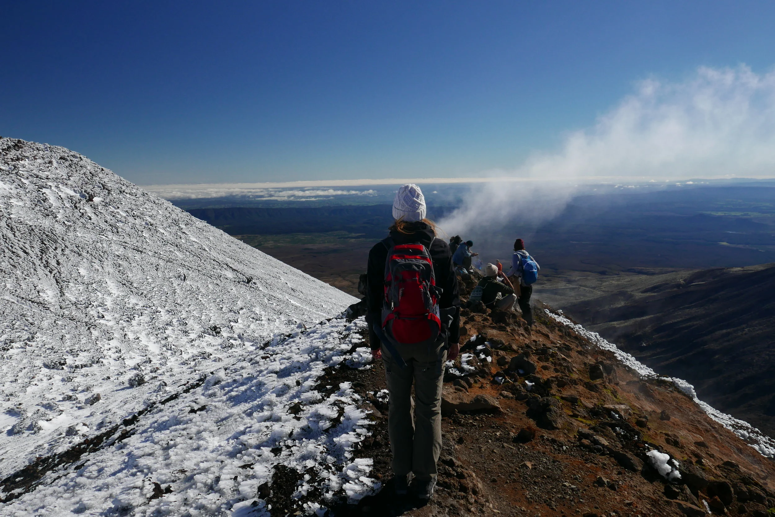
After closer to 2 hours of climbing we finally reached the top. You can either choose to go to the “Frodo ring”-side or the actual highest point – or do both if you have the time and energy. We sat on the warm rocks, surrounded by the steam from the volcano now and then, enjoying our lunch.
I only found out later (should have read all the Wikipedia info before doing the crossing) that nothing was actually filmed at the top of Mt. Ngarurahoe as it’s a sacred Maori place. This mountain was used as a place-holder and the close-up scenes we’re filmed at Mt Ruapehu so any of the ring photos people took are technically at the wrong mountain!
Coming down was a lot quicker. I started out slow and carefully backtracking my steps but the guys were already half-way down sliding on the snow and gravel on their assess and running along with the sliding gravel. Sliding down was actually a lot of fun – except I worried of my pants tearing open at any point – but you really needed to focus on not going too fast or twisting your ankles. Coming down I dreamed about fresh snow and snowboarding it because people do ski these walls down during winter.
You know the feeling that you’ve accomplished a lot and you think the majority of the walk and work is behind you? Well that’s how we felt after being on the road for 4 hours until we saw the main walk signs saying we still have majority of the actual walk left – 13,4km to be exact. I also had promised to the guys that “yeah I think majority of the climbing is behind is” and I was quite wrong on saying that because the main climb of the crossing was ahead of us.
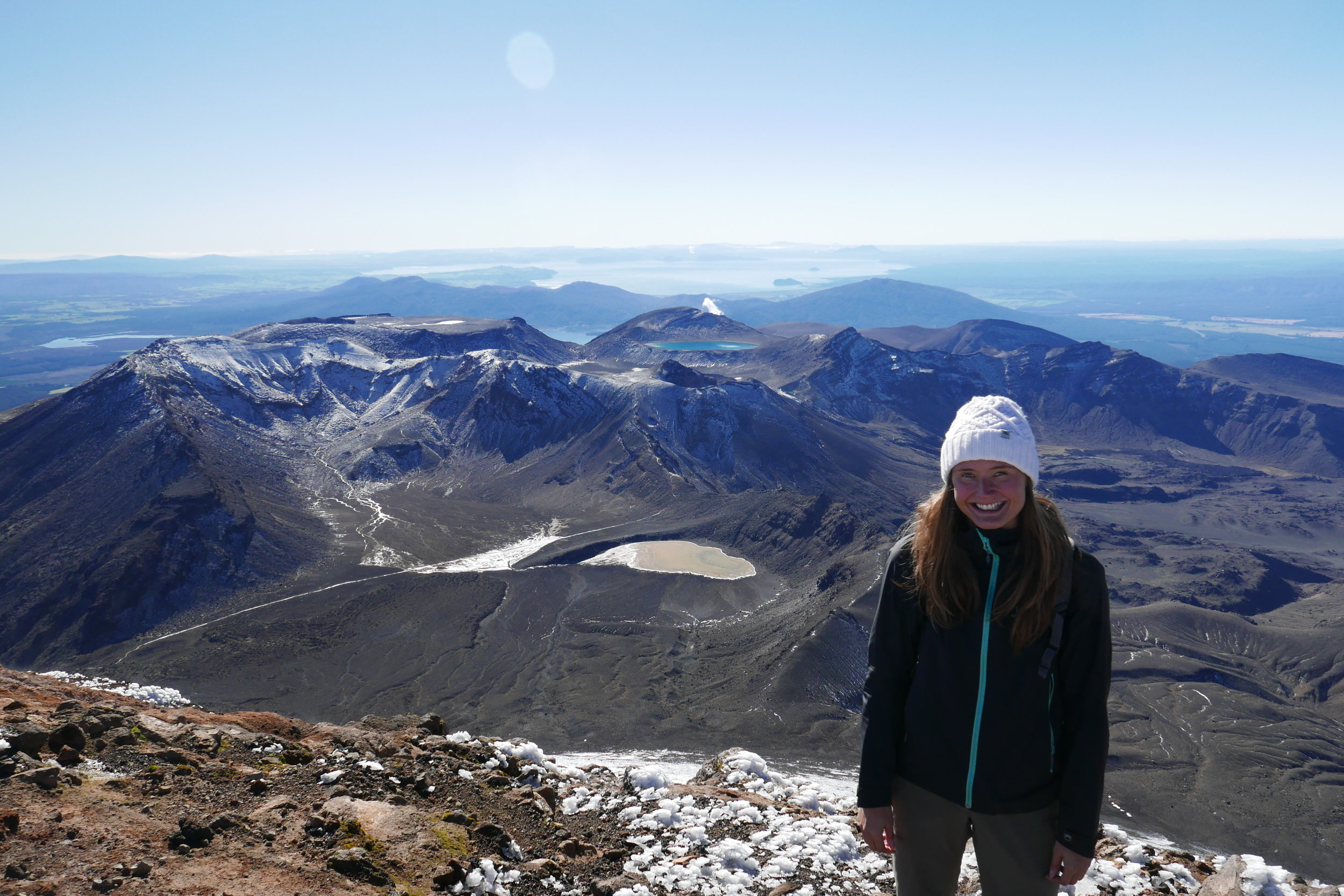
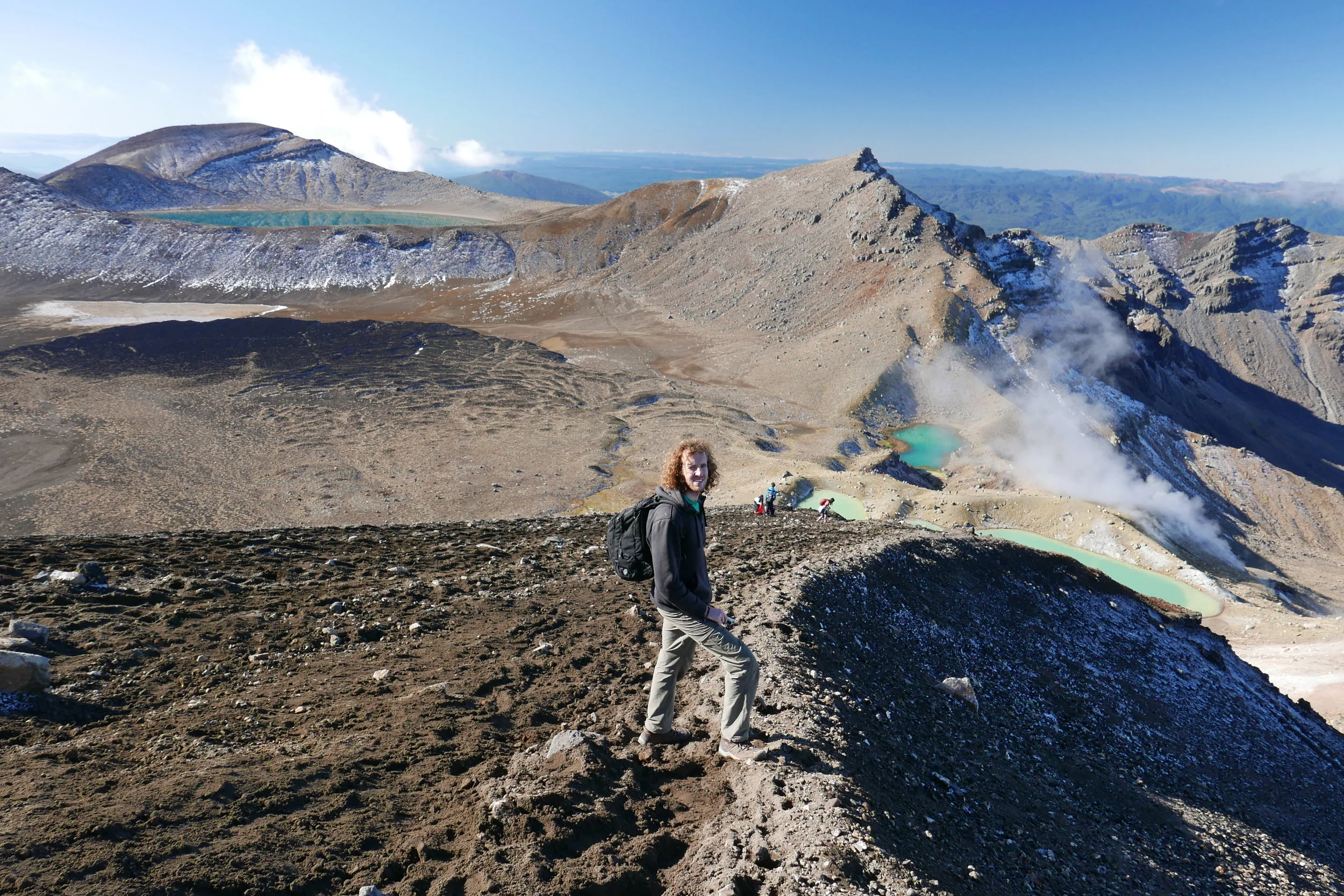
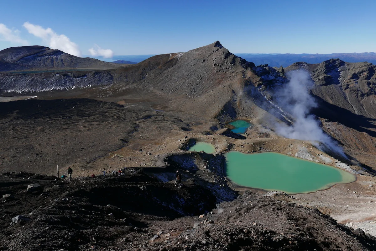
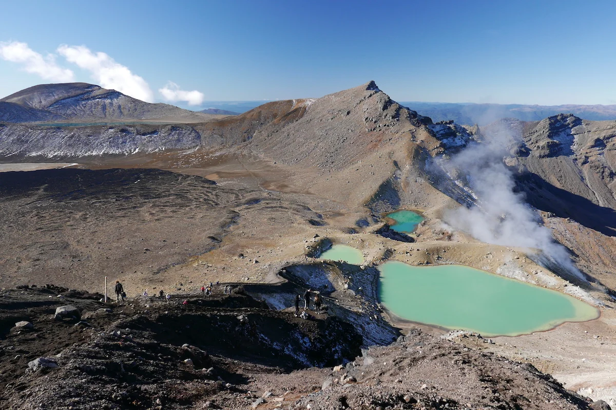
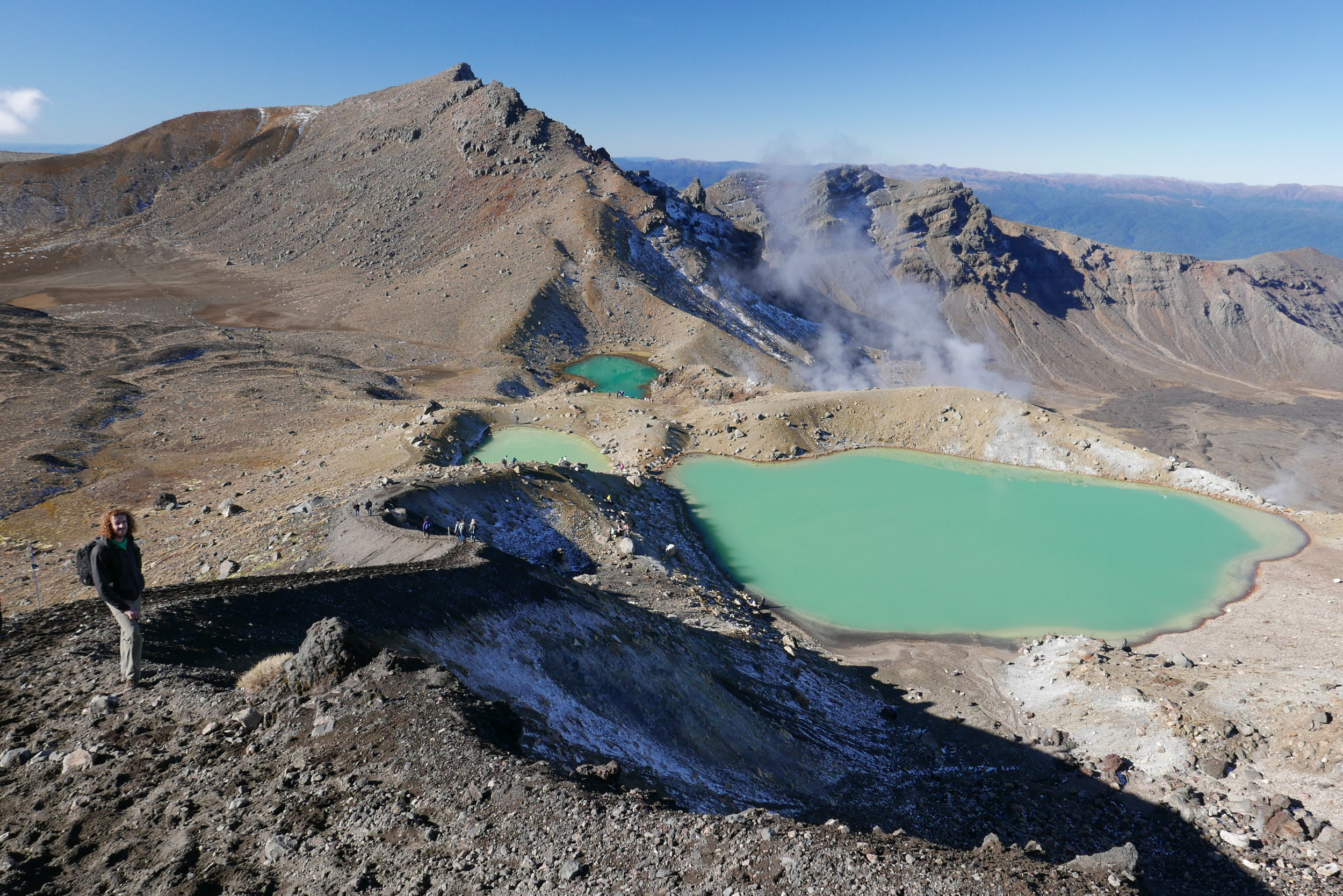
After the climb you get to the most-photographed point of the Tongariro Crossing – Blue pools. A lot of people walk here and then turn back and later I learned why. The crowds were definitely thinning the further we walked, at the Emerald Lake we barely saw anyone and after that the paths were clear for a long way.
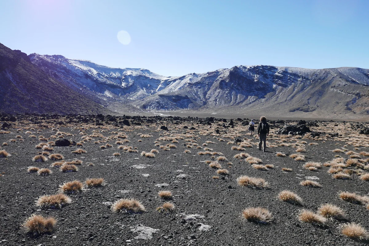
It turns out that all the kilometers after Emerald Lake is very, very boring. And there was still almost seven of those kilometers left. And the worst part is that you can see the pathway going down the hills, you can see it far away in the horizon so it doesn’t stop mocking you and your tired pace at any point. You feel like it won’t end, ever. You calculate in your head that “surely we’ve come 6km now, there should only be 1km left” and then you see a sign telling you “3km to go!”. %!€%#!”!!€
Still 7km to go..
We did made it in the end, the time was 5pm so we weren’t nearly as fast as we thought we would be but at least we got out before dark. Only the painful drive to pick-up the other car from the start through one of the worst gravel roads I’ve seen – in the morning already three cars had punctured tyres.
Instead of spending another extremely cold night in the car without a shower I used my “I am an adult with some money and I refuse to live like this”- card and got us a room in a hostel/motel. Best decision ever.
Definitely the most challenging walk and of the best ones in terms of scenery we’ve done and I would recommend it with Mt. Ngarurahoe climb – I bet without it this wouldn’t feel as rewarding ;). I might consider walking it the other direction because then you have cleared the most boring part first and after the mountain climb you have only 6.6km to go instead of 13.4.


